


It might be a good idea to keep the weather radio handy by the bed if you have one, because stormy weather is on the move toward Polk County this evening.
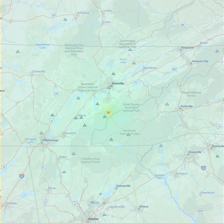
The Hazardous Weather Outlook from the National Weather Service posted this evening that strong to severe thunderstorms are possible tonight into the morning hours ahead of a cold front moving into Georgia this evening. The forecast calls for strong to damaging winds and the potential for a brief tornado.
Along with winds, the forecast calls for at least a tenth of an inch of rain, and more in thunderstorms moving in.
The Weather.com radar prediction for later this evening is for a storm on track from Alexander City, Alabama will merge with another in the Anniston and Jacksonville area and by midnight the strongest of the weather will begin to move through on a track from south of Tuscaloosa, across central Alabama and onward to Northwest Georgia and crossing the state toward South Carolina.
Tonight’s low is only expected to be 60 as the wet weather moves through, with morning showers and thunderstorms expected but then clearing by the afternoon, and chances for more rain and wet weather Tuesday night into Wednesday morning.
The cold front which should be pushed through by midweek and into Thursday morning will bring colder temps as the first month of the year moves to a close, down to a high of 48 on Thursday and 24 for an overnight low, then 55 on Friday and down to 31.
Check back for any weather-related updates that may be necessary as the system moves through the area overnight.


Leave a Reply